Management of Spatial Information: take a free e-learning course!
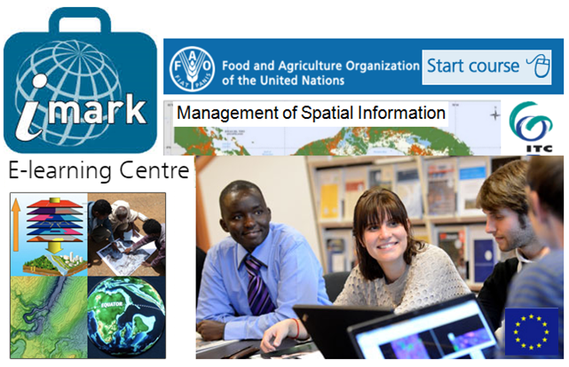
Spatial data can help improve the quality of planning and analysis activities in organizational processes. By taking a free FAO IMARK E-learning course ‘Management of Spatial Information’ (20 hours) you will learn about different techniques and technologies for obtaining, producing and disseminating spatial data.
Free and high quality e-learning courses provided by FAO
.png) The European Union (EU) has sustained the development and dissemination of free e-learning by FAO to meet the needs of professionals working in food and nutrition security, social and economic development and sustainable management of natural resources world-wide. The contribution of the EU to all courses available on the FAO’s site is 80%.
The European Union (EU) has sustained the development and dissemination of free e-learning by FAO to meet the needs of professionals working in food and nutrition security, social and economic development and sustainable management of natural resources world-wide. The contribution of the EU to all courses available on the FAO’s site is 80%.
Food and Nutrition Security Foundations Food and Nutrition Security Analysis Monitoring, Evaluation and Impact Assessment Social Protection and Resilience
|
The EU is also supporting the development of the e-learning interface used for all the courses, and the migration towards newer technologies.
Since the first course - launched by FAO in 2005 - FAO has reached over 375,000 e-learners. From the inception of all aspects of a new course to its distribution in multiple languages (ensuring the latest terms) FAO involves a number of partners (like-minded institutions, subject matter experts, courseware developers).
To produce and deliver e-learning content, FAO and its partners have developed and adopted the Information Management Resource Kit (IMARK) work flow - an e-learning initiative to train individuals and support institutions and networks world-wide in the effective management of information.

IMARK covers several major subject areas in agricultural information management in order to respond to the needs of information professionals.
IMARK seeks to provide an interactive self-paced learning environment addressing each area in which information professionals can learn new concepts, approaches and attitudes for effective information management.
All e-learning modules - covering a wealth of topics of global interest - are being developed using the latest methods in e-learning, providing an interactive environment for self-paced learning. The quality of all e-learning courses is guaranteed by the ECBCheck quality criteria scheme.
Online, downloadable and CD-Rom versions of all the courses offer content for self-pace learning as well as materials for trainers and references to existing bibliography and online resources.
Curious to try a lesson?
To get a quick sample of what is on offer, try a demo lesson of one of the following courses: Climate Change and Food Security - - Communicating for Food Security - - Social Media for Development.
Or just LOGIN / REGISTER for free access to all courses!
Are you a spatial manager and/or decision maker?
Are you an analyst and/or technician in organizations producing or using spatial data?
Are you simply interested in the creation, management, analysis and dissemination of spatial data?
Management of Spatial Information free course is for you!

The 25 lessons (from 25 to 75 minutes duration) of this course - with interesting ideas and examples - are comprised in four units, as follows:
UNIT 1 - INTRODUCTION TO MANAGEMENT OF SPATIAL INFORMATION (the fundamentals of spatial data and systems for producing spatial information and knowledge).
UNIT 2 - SPATIAL DATA ACQUISITION (the notion of spatial data quality, its evaluation and documentation).
UNIT 3 - SPATIAL ANALYSIS (techniques for spatial data processing to generate information).
UNIT 4 - SHARING SPATIAL INFORMATION (standards and best practices used in sharing spatial data).
By taking this course you will learn about:

Faculty of Geo-information Science and Earth Observation (ITC) of the University of Twenty was involved in the development of the present course.
Here you can check out frequently asked questions regarding e-learning services provided by FAO.
If you have any further questions, please contact:
General inquiries: elearning-enquiries@fao.org
Technical Support: elearning-support@fao.org
Source:
Management of Spatial Information course
See also how Spatial Data is connected with Big Data:
5 Ways Big Geospatial Data Is Driving Analytics In the Real World
Big Processing of Geospatial Data
Big data: The future is in analytics