FAO GeoNetwork: free access to spatial datasets and related interactive digital maps
06/12/2016

FAO GeoNetwork's purpose is to improve access to and integrated use of spatial data. The FAO GeoNetwork opensource provides free access to and integrated use of spatial datasets and related interactive digital maps, satellite images, and statistics maintained by FAO and its partners.
“The challenge is to enhance the data exchange and sharing between the organizations to avoid duplication, increase the cooperation and coordination of efforts in collecting data and make them available to benefit everybody, saving resources and at the same time preserving data and information ownership” (Horizon International Solutions Site).
The Food and Agriculture Organization (FAO) of the United Nations produces a large number of Geographic Information System (GIS) datasets for monitoring, assessment and analysis of environmental and socio-economic factors causing poverty and food insecurity. FAO's most relevant GIS information at global, continental and sub-continental levels is made available through FAO-GeoNetwork.
“FAO-GeoNetwork is a web based Geographic Data and Information Management System. It enables easy access to local and distributed geospatial information catalogues and makes available data, graphics, documents for immediate download. FAO-GeoNetwork holds approximately 5000 standardized metadata records for digital and paper maps, most of them at the global, continent and national level” (FAO Catalog of data sources).
The FAO GeoNetwork portal is powered by GeoNetwork opensource, developed by FAO, World Food Programme (WFP), United Nations Environment Programme (UNEP) and Office for the Coordination of Humanitarian Affairs (OCHA) as a common strategy to effectively share their spatial and related databases. These agencies make extensive use of computer-based data visualization tools mostly to create maps that combine various layers of information.
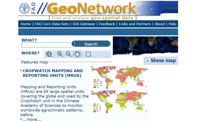
GeoNetwork opensource provides all interested parties with the capacity to access a wide selection of spatial maps and related information stored in different databases around the world through a single entry point. Open source geographic maps datasets are effective communicational tools to support decision making, to promote multidisciplinary approaches to sustainable development, and to enhance the understanding of geographic information. GeoNetwork opensource maps are provided at the global scale, but can be zoomed into the local scale (depending on the grid scale of the data set). Datasets behind the maps can be downloaded for free, viewed and analyzed in Google Earth.
FAO-GeoNetwork allows free access to FAO Core Datasets. FAO is the main producer of these datasets or has publication rights as partner of a group that released the data. Data is related to a global, continental or regional level. The following categories have been used to group the FAO Core Datasets described through their own ISO standard metadata:
By combining various layers of GeoNetwork Core Datasets, decision makers and planners are able to create customised thematic maps on their own computers covering such variables as land cover, soil quality, vegetation and population density and marketing access. The maps created by the different agencies in their respective fields of expertise can be further combined to see the relationship between different factors affecting the populations and the environment.
FAO hopes that the whole geospatial user community will find the GeoNetwork Core Datasets a valuable contribution for mapping of socio-economic data and environmental related features to be used in problem analysis, planning, decision support, and implementation.
The GeoNetwork Core Datasets is widely used as the basis of Spatial Data Infrastructures around the world (e.g., being included in the Climate-Smart Planning Platform, the GeoNetwork Core Datasets allow to easily share geographically referenced thematic information).
GeoNetwork allows to easily share spatial data among different organizations and users and supports different stakeholders (*) in agriculture, forestry, fisheries and food security.
* Decision Makers: e.g. sustainable development planners and humanitarian and emergency managers who need quick, user-friendly, reliable and up to date cartographic products as a basis for action and better planning, monitoring and evaluation of their activities;
Geographic Information System (GIS) Experts who need to exchange consistent and updated geographical data;
Spatial Analysts who need multidisciplinary data to perform preliminary geographical analysis and reliable forecasts to better set up appropriate interventions in vulnerable areas.
In addition to the on-line publication of metadata and the download of GIS datasets, FAO GeoNetwork offers to authorized users the possibility to create Web Map Services (WMS), a standard of the Open Geospatial Consortium (OGC) which allows to visualize, overlay and query maps interactively, either through a GIS application or directly from the web browser (through InterMap, an interactive map viewer). The software used by FAO to create the WMS is MapServer.
# Are you OGC compliant? Achieving OGC certification is extremely important to easily integrate digital resources into an open environment.
For further information, please contact: [email protected].
Sources:
Related sites:
- Global Mapping
- Global Spatial Data Infrastructure (GSDI)
- US Federal Geographic Data Committee (FDGC)
- USGS U.S. Geological Survey
- UNEP-GRID (Arendal)
- CIESIN Center for International Earth Science Information Network
- Participatory GIS
- NOAA National Data Centers, NGDC
- ESRI ArcData Online
- Open Geospatial Consortium (OGC)
- OGC Interoperability Program